UNESCO World Heritage Trail – Bench No. 6: The Blüemlisalp Massif – Cradle of Alpinism
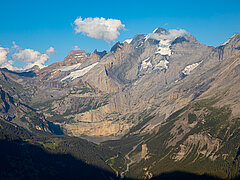
At over 3,600 metres, with the Blüemlisalphorn, Wyssi Frau and Morgenhorn, it dominates the Bernese Oberland. The traverse of its ridge is considered one of the most beautiful snow routes in the Alps. Its steep southern flank drops towards the Kander Glacier, while its glaciated northern face, clad in white firn, can be seen as far as the Swiss Plateau, and in clear conditions even to the Black Forest and the Vosges.
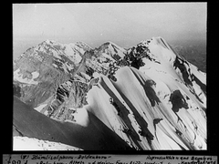
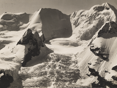
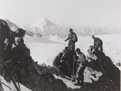
First Ascents
In the 18th century, mountains were still regarded as frightening. With growing scientific curiosity, fascination took hold and the first ascents were attempted, with Kandersteg’s mountain guides playing a key role. In 1860, Fritz Ogi-Brügger guided Reverend Leslie Stephen on the first ascent of the Blüemlisalphorn. In 1871, he completed the first ascent of the Fründenhorn, and in 1874, together with Christian Hari, the Oeschinenhorn. Edmund von Fellenberg from Bern climbed the Kleine Doldenhorn in 1862, and later, with guide Gilgian Reichen, the Doldenhorn. Reichen was awarded the first mountain guide licence in Kandersteg in 1856.